During the calibration and operation of LiDAR in interactive systems, interference can sometimes occur. This interference typically falls into two categories based on the phase of use: interference during the calibration phase and interference that appears after prolonged use. Additionally, the interference can be classified by its location into two types: stable area interference and random area interference.
Identifying and Testing Stable Area Interference

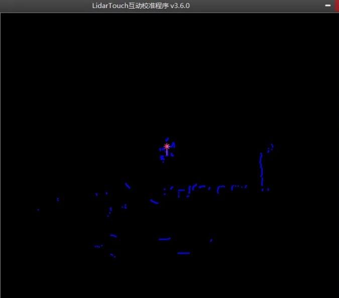
For stable area interference, start by launching the calibration software and observing the raw signals. Use your hand to touch different areas of the interactive zone to pinpoint the exact location of the interference. Once the interference point is identified, perform the following tests:
- Touch Test: Use your hand to touch around the interference point (before, after, left, right) and observe if the signal changes.
- Obstruction Test: Place your hand between the interference point and the LiDAR sensor to see if the interference disappears.
- Movement Test: Hold the LiDAR sensor and move it slightly in different directions (up, down, left, right) to observe any changes in the interference.
These tests will help determine whether the interference is due to actual objects in the interactive zone or if the LiDAR sensor itself is generating false signals.

Resolving True Interference Sources in the Interactive Zone
If a real interference source is found within the interactive area, consider one of the following solutions based on the specific situation:
- Adjust LiDAR Installation: Common solutions include raising the sensor or changing its position.
- Calibration: During the “background recognition” step, the software can automatically filter out the interference source.
- Polygonal Zone Selection: When defining the interactive area, use the “polygonal zone” option to bypass the interference source.

Addressing LiDAR-Induced Interference
Stable interference caused by the LiDAR itself is often due to dirt on the motor cover. Simply cleaning the cover should resolve the issue.
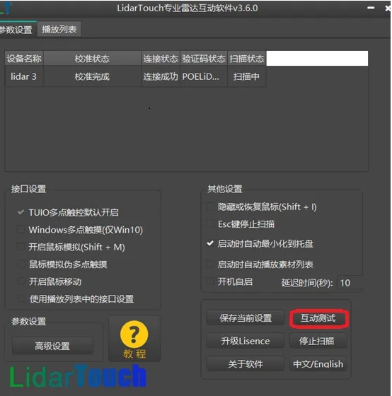
If interference occurs after the LiDAR has been running stably for a long time, start by clicking the “Interactive Test” button in the server software to observe the pattern and distribution of the interference points. If numerous, erratic yellow points appear, close the server software and check the raw signal using the calibration software. If the same issue is present in the raw signal, it is likely a hardware problem with the LiDAR sensor, and contacting the manufacturer is advisable.
For fixed interference points, use your hand to touch the interactive area to locate the source and confirm the area causing the interference signal.
Conclusion
Over time, the installation position of the LiDAR and the interactive area may shift, especially when the interactive surface is made of materials like wood, leading to interference. Once the interference location is identified, adjusting the LiDAR installation can often resolve the issue. If adjustment isn’t feasible, recalibrate and exclude the interference zone from the interactive area definition. Proactive calibration and maintenance are key to ensuring long-term, stable operation of your LiDAR-based interactive system.
As a leader in LiDAR sensor technology, CPJ Robot continues to push the boundaries of what’s possible, delivering solutions that engage and inspire users worldwide.


