LiDAR, short for Light Detection and Ranging, is a remote sensing technology that has revolutionized the way we perceive and interact with our physical world. This innovative technique has its roots in the early 20th century, and its evolution has been nothing short of remarkable.
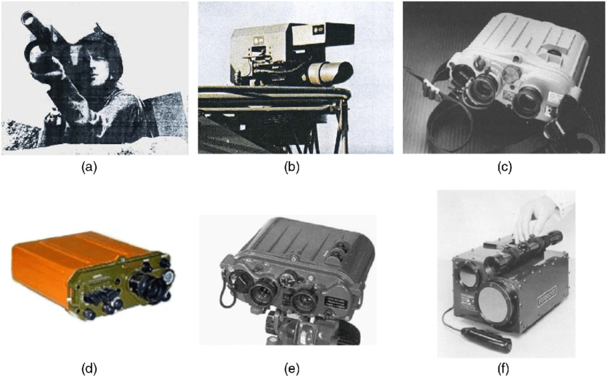
The foundations of LiDAR were laid in the 1930s, when the concept of using light to measure distances was first explored. However, it wasn’t until the 1960s that the technology truly began to take shape, with the development of the first laser rangefinders. These early systems were bulky, expensive, and primarily used for military applications.

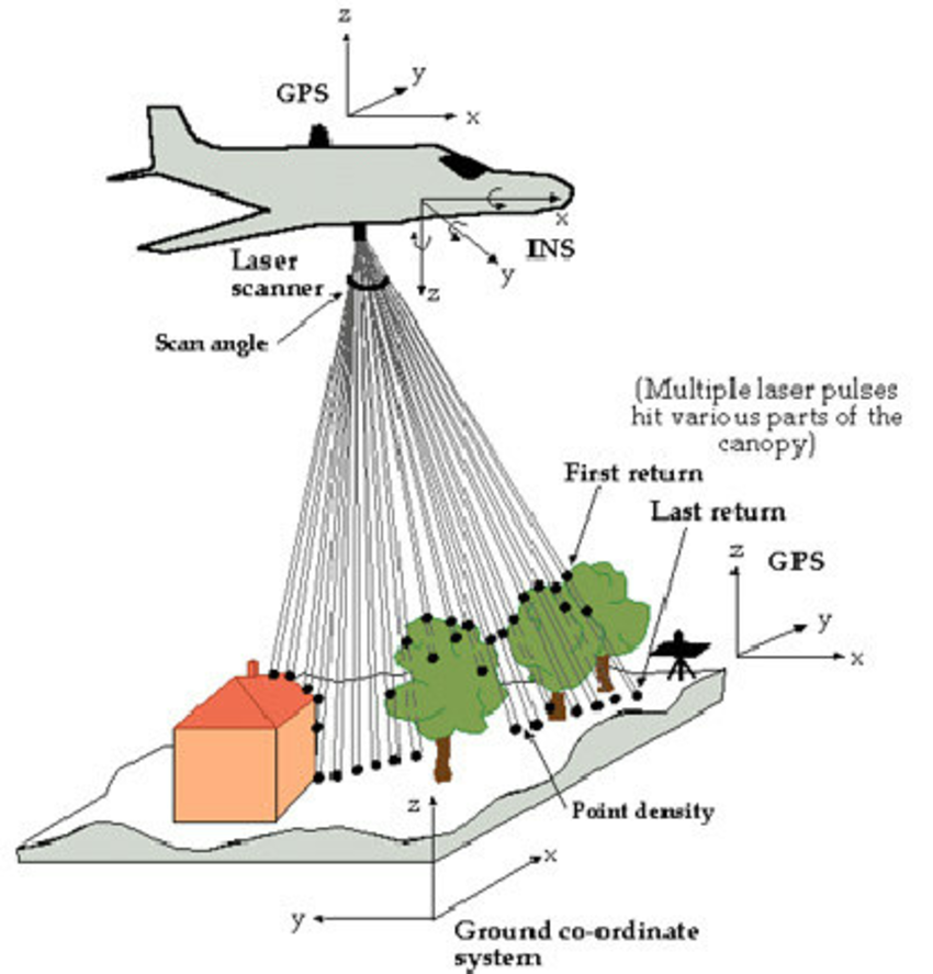
As the decades passed, LiDAR technology continued to evolve, becoming more compact, accurate, and affordable. The 1970s saw the introduction of airborne LiDAR systems, which allowed for the creation of detailed topographic maps and the monitoring of environmental changes.
Airborne LiDAR system
In the 1990s, the advent of GPS (Global Positioning System) and the increasing computational power of computers further propelled the growth of LiDAR. This combination enabled the creation of highly accurate 3D models of the Earth’s surface, revolutionizing fields such as urban planning, forestry, and archaeology.

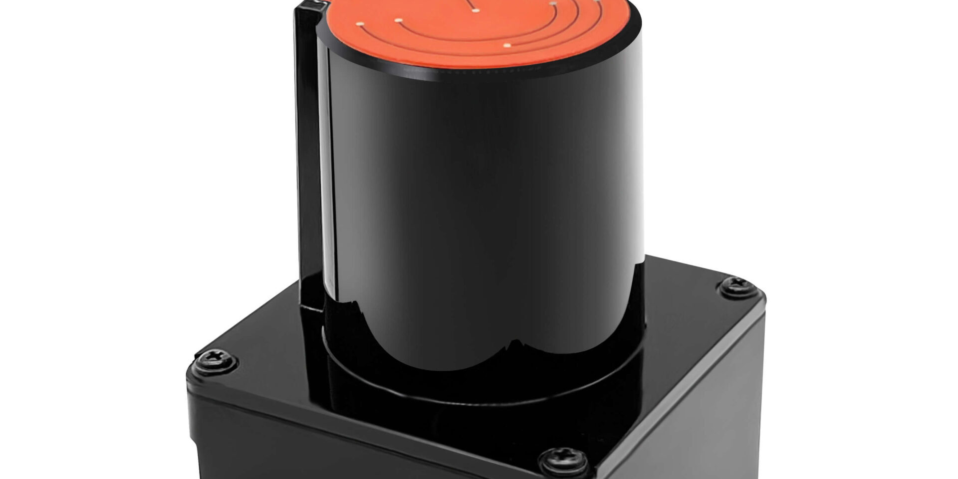
Today, LiDAR technology has found applications in a wide range of industries, from autonomous vehicles and robotics to architecture and construction. Its ability to capture precise, high-resolution data has made it an indispensable tool for mapping, surveying, and monitoring the world around us.
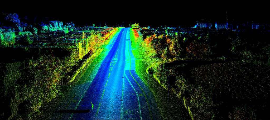
LiDAR point cloud data

As we look to the future, the potential of LiDAR continues to expand. Advancements in sensor technology, data processing, and integration with other systems promise to unlock even more innovative applications of this remarkable technology. From enhancing our understanding of the natural world to shaping the cities of tomorrow, LiDAR is poised to play a pivotal role in the ongoing quest to explore and understand our dynamic planet.


