LiDAR (Light Detection and Ranging) is a versatile technology with widespread applications across various fields, such as mapping, distance measurement, security, 3D scanning, measurement, positioning, and interactive media. Its ability to generate highly accurate 3D representations of environments has made it indispensable for many industries. Below are the seven key applications of LiDAR technology in real life:

1. Mapping
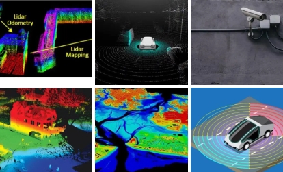
LiDAR plays a crucial role in mapping due to its ability to capture detailed information about the surrounding environment. Using laser or millimeter-wave technology, LiDAR systems scan a scene and generate point clouds, which are then processed into high-precision digital maps. These maps are vital for the navigation and path planning of autonomous vehicles, robots, and drones.

2. Distance Measurement
LiDAR is widely used for measuring the distance and speed of objects. It works by measuring the time taken for light to bounce back from an object, helping calculate both distance and speed. This technology is essential for real-time object tracking and positioning, improving road safety by measuring the distance, speed, and location of vehicles and pedestrians.
3. Security
LiDAR enhances security systems through advanced monitoring and control capabilities. It is used in surveillance systems to detect potential security risks in real time. For example, in vehicle safety systems, LiDAR can detect obstacles ahead to prevent collisions. It also helps monitor restricted areas or perimeters to detect unauthorized activities.
4. 3D Scanning
LiDAR enables the creation of highly detailed 3D models by scanning objects and landscapes. These models are critical for applications like terrain analysis, architectural measurements, and urban planning. Additionally, LiDAR is used for capturing 3D models of artifacts and historical sites, contributing to cultural heritage preservation through digitization.
5. Measurement
LiDAR is used for precise building measurements and map creation. Its accuracy in capturing building contours, height, and dimensions makes it indispensable for construction and architectural projects. LiDAR is also used in generating 3D maps, topographic maps, and elevation models, which are essential for Geographic Information Systems (GIS).
6. Positioning
LiDAR technology is crucial for the accurate positioning of objects and people. With millimeter-wave LiDAR, real-time tracking of vehicles, pedestrians, and other objects is possible. This application is essential for navigation, traffic safety, and monitoring moving objects in areas like airports, train stations, and public spaces.
7. Interactive Media
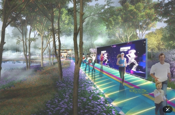
LiDAR is also used to create immersive interactive media experiences such as Virtual Reality (VR) and Augmented Reality (AR). By scanning environments with LiDAR, it is possible to create realistic virtual experiences and interactive exhibits. Museums and exhibition halls, for example, can use LiDAR to create interactive VR experiences that engage visitors in new ways.
LiDAR technology has revolutionized many industries, providing high accuracy and real-time data for a wide range of applications. The type of LiDAR system chosen depends on the specific use case, but its versatility makes it an essential tool in mapping, security, measurement, and more.
By optimizing content using relevant keywords, including popular hashtags, and focusing on these applications, this blog post can target a broad audience interested in cutting-edge LiDAR technology.
#LiDARTechnology #MappingTech #3DScanning #VRandAR #SecuritySystems #RealTimeTracking #GIS


